Sunny yet cooler weekend on the way
Overnight lows will dip into the 30s at times
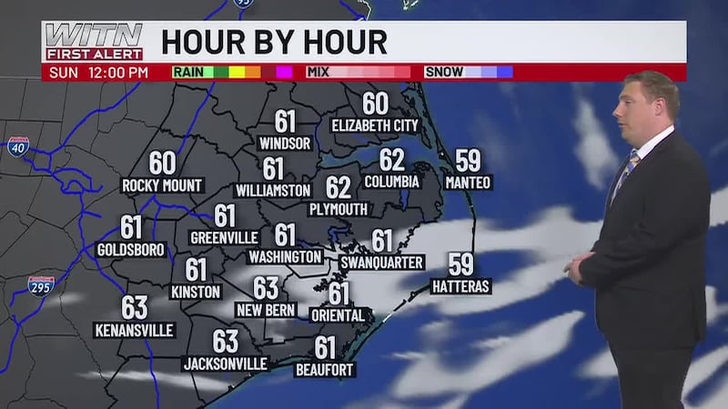
Only a few clouds will be present early Saturday morning, otherwise evidence from Friday’s rain will be gone as we transition back to November like weather. Highs will reach the mid 60s on both Saturday and Sunday with overnight lows Saturday night dipping down into the upper 30s. Those heading out the door early for church should have a coat at the ready.
The Autumn feel will stick around through next week with skies staying partly to mostly sunny from Monday through Friday. Air temperatures will warm back up slightly above average (upper 60s to low 70s) from Monday to Thursday. Overnight lows will dance around the 40° mark with some nights in the upper 30s and others in the low 40s.
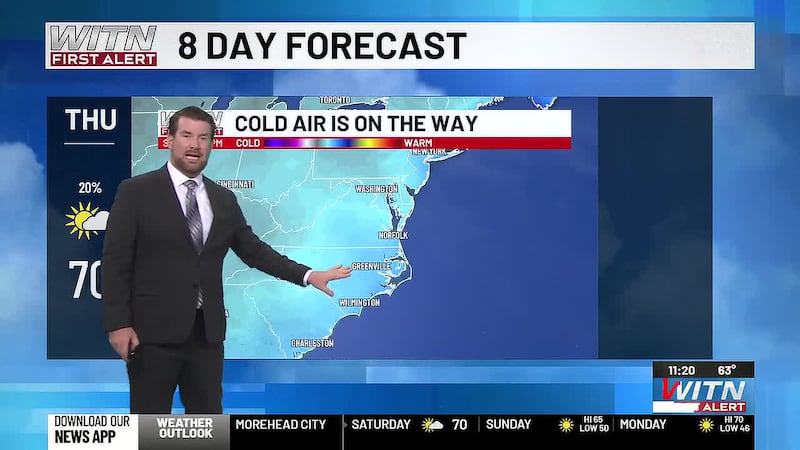
A blast of cold air out of the Great Lakes will arrive Friday and linger through the weekend. Highs will dip into the upper 50s while lows will reach the mid 30s. This will likely mark our first widespread frost of the season, and if the cold air drives its way down to South Carolina, we could be seeing the low 30s by the time we reach next Sunday morning. If you need to winterize your garden, do so over the next six days.
Download the WITN First Alert Weather App for free from the Google Play Store or the App Store.
The above video is our WITN+ livestream and may not reflect the content in this story.
Copyright 2026 WITN. All rights reserved.