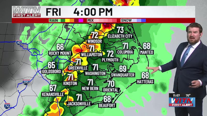
Continue to watch for afternoon showers and storms
Drier and chilly weekend
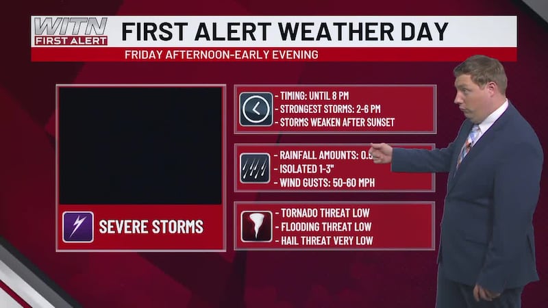
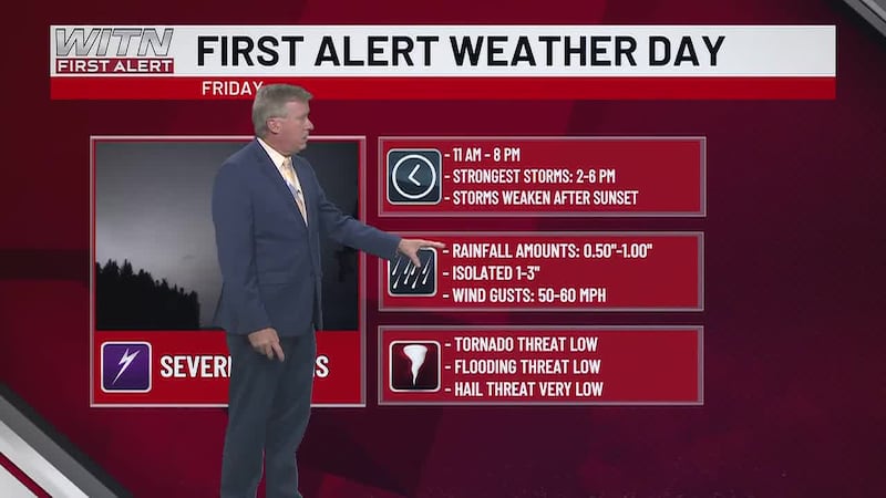
Have rain gear handy for the rest of the day, as showers and storms will be moving into ENC. A cold front will usher in gusty winds and localized heavy downpours. They will be lingering through the early evening. A few showers will interrupt the tailgate and start of the game. Most of the game will be overcast and cool. Temperatures will go from the 70s to the 60s. Overnight lows will fall to the 50s.

The weekend will be nice and dry, as we’ll see a mix of clouds and sunshine. Fall temperatures will be in the 60s, with lows in the upper 30s and lower 40s. Winds will be from the northwest at 5-15 mph.
We have calm and dry conditions into the start of next week. Daytime highs hold in the upper 60s to low 70s. Lows drop to the 40s. By late week and the upcoming weekend, temperatures will be in the low 60s and upper 50s, with lows falling in the 30s. Frost is possible for areas closer to I-95 and the stateline.
Download the WITN First Alert Weather App for free from the Google Play Store or the App Store.
The above video is our WITN+ livestream and may not reflect the content in this story.
Copyright 2026 WITN. All rights reserved.