Severe storm risk Friday; Beautiful weekend follows
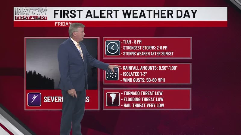
First Alert Weather Day Friday
A strong cold front will move through Eastern NC Friday afternoon, bringing widespread showers and thunderstorms, along with a risk of a few severe storms.


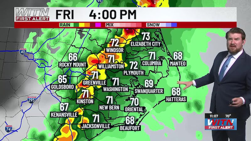
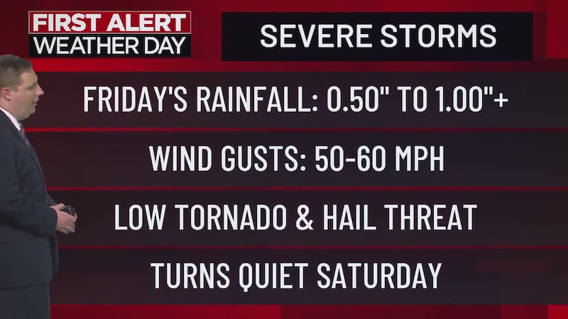
Friday brings widespread showers, along with a few strong to severe thunderstorms, from late morning through the evening hours. A few strong to severe thunderstorms will be possible from early afternoon through early evening Friday. The primary risk will be wind gusts over 50 mph, along with heavy downpours and frequent lightning.

We’ll go back to dry and mostly sunny over the weekend. Saturday’s high will peak near 70° with Sunday’s high dipping to the mid-60s. Overnight lows will fall into the 40s.

Temps will peak in the mid-to-upper 70s along the coast under mostly cloudy skies Friday. Showers and storms arrive late afternoon.
Download the WITN First Alert Weather App for free from the Google Play Store or the App Store.
Copyright 2026 WITN. All rights reserved.