Scattered severe storms expected Friday afternoon
The threat window will be focused over the afternoon hours

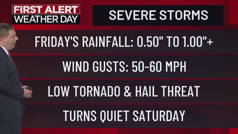
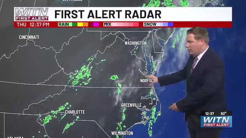
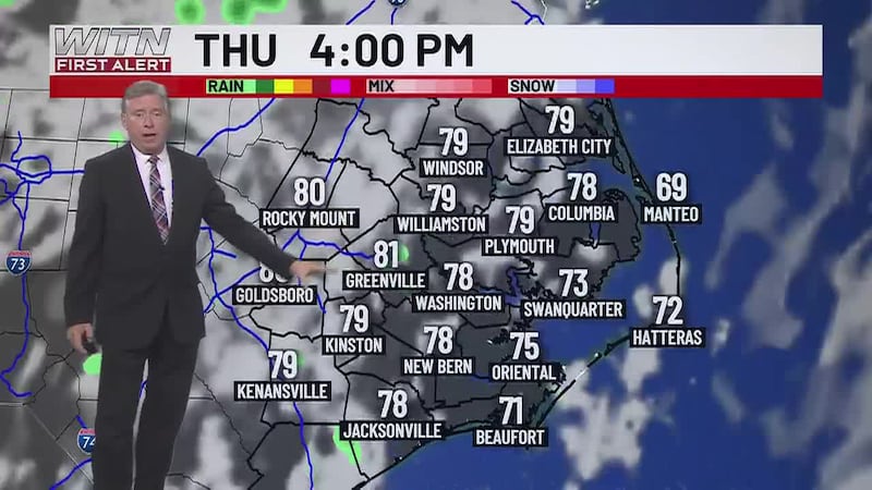
The start to Friday will be cloudy and damp as a few light showers will be present at sunrise. The threat of severe storms will arrive in the afternoon and will last until 6 p.m. Air temperatures will still reach the mid 70s thanks to a strong and steady breeze out of the south.
A cold front moving in from the west will be the source of the severe weather threat. It will move off the coast late Friday night, taking the rain along with it. Rainfall totals will range between half an inch to a full inch for most areas while a few pockets on the western side of Highway 17 could see between one to three inches.
Dry weather returns over the weekend under mostly sunny skies and will hang around through the start of next week. Temperatures will hover near average (upper 60s to low 70s) for most of the week before a stronger push of cold air moves in ahead of the following weekend. This will likely mark the end of growing season as widespread frost is looking more and more likely Friday night into Saturday morning.
Download the WITN First Alert Weather App for free from the Google Play Store or the App Store.
Copyright 2026 WITN. All rights reserved.