Another day in the upper 90s before storms cool us down
Isolated storms Friday turn more widespread late Saturday
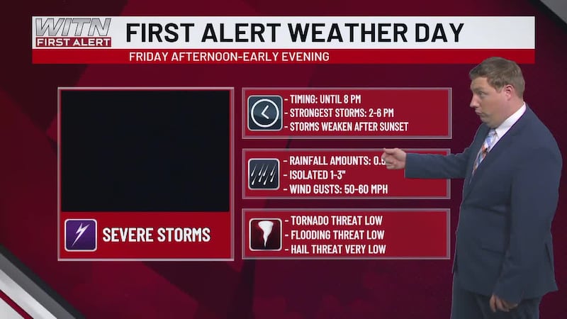
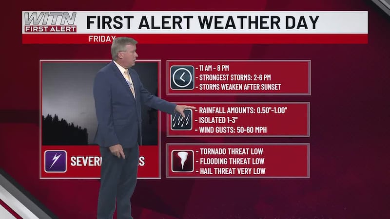
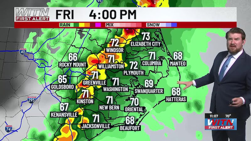
As we put the finishing touches on the work week, temperatures will be remain hot. Highs will be back into the mid to upper 90s in the afternoon with the humidity making it feel like we’re between 105° to 110°. Friday’s rain chances continue to diminish over the afternoon. A boundary will move in from Virginia later in the evening. A few severe thunderstorms could ride along this boundary, however the storms will be getting weaker as they progress across Eastern NC.
Saturday will be a few degrees cooler, but highs will still reach the mid 90s in the afternoon. The window for storms will be open from the afternoon until midnight. The main threats will be damaging straight line winds that could exceed 50 mph, along with isolated hail.
The cooler air that will follow the storms will help bring air temperatures back down to the mid 80s for Sunday and Labor Day. Overnight lows dipping into the mid 60s Sunday night into Monday morning will help make the start of Labor Day feel much more comfortable.
Temperatures will gradually warm back up as we head through next week. Highs in the mid to upper 80s Tuesday and Wednesday will be back to the low to mid 90s by Thursday and Friday. Rain chances will be low for most of the week.
Download the WITN First Alert Weather App for free from the Google Play Store or the App Store.
The above video is our WITN+ livestream and may not reflect the content in this story.
Copyright 2026 WITN. All rights reserved.