Tropical development chances dropping in the Gulf
Heavy tropical rains, regardless, for Louisiana

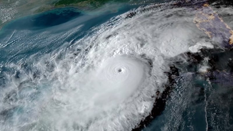
The tropical showers along the northern Gulf coast are becoming more disorganized on Thursday. The chance of development continues to drop and will most likely drop by the start of the weekend.

What We Know:
The weak area of low pressure in the northern Gulf is disorganized as it moves along the Louisiana coastline on Thursday. The system is currently forecast to further weaken through the end of the week as it moves slowly inland over Louisiana. There’s an outside chance it could move further south and become better organized over the water, but that’s unlikely.
Regardless of Development: Heavy Rain Is Likely
Even if this system doesn’t form into a tropical depression or named storm, it’s already carrying moisture-rich air into parts of the Gulf Coast. This includes the potential for localized flooding, especially in areas that are already saturated or receive rounds of rain. This scenario is looking less likely.
What It Could Mean for Us in Eastern North Carolina:
This system will not have a direct impact on ENC. However, any Gulf system that forms can influence our moisture pattern. If the weakening low drifts far enough north or east, some of the system’s tropical moisture could surge our way.
For more tropical updates on the 2025 hurricane season, download the free WITN First Alert Weather App, available in both the Apple App Store and Google Play Store. It’s the fastest way to get the latest advisories, track storms in real-time, and receive any warnings issued for your area.
Copyright 2025 WITN. All rights reserved.