More Heat Advisories and Warnings Tuesday
Heat index peaking near 105° Tuesday afternoon
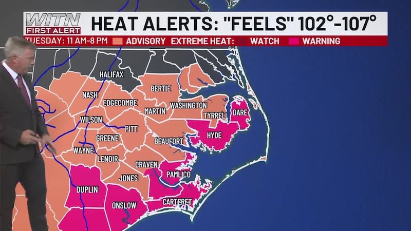
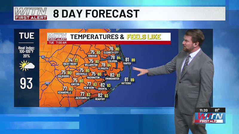
The highs will jump back into the mid 90s once again Tuesday afternoon with the muggy air bringing the “feels like” temp to 102-107° from midday through quitting time. Skies will run Mostly sunny to partly cloudy with a 30% chance of an afternoon storm.

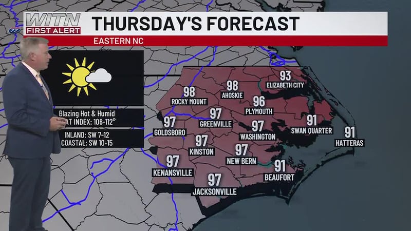
The intense heat will stay locked in through Thursday with highs in the low to mid 90s and rain chances running around 30%.
A cold front will move in Thursday night bringing widespread showers and storms Thursday night into Friday, with continued scattered showers and storms persisting through Saturday. The storms will bring some heavy downpours and gusty winds but severe storms are unlikely.

The rip current risk will be low from Cape Hatteras northward Tuesday. The beaches from Hatteras southward to Cape Lookout will have a moderate risk. The beaches from Cape Lookout southwestward will also have a moderate risk.
Download the WITN First Alert Weather App for free from the Google Play Store or the App Store.
Copyright 2026 WITN. All rights reserved.